Nasa GeoData Visualizer
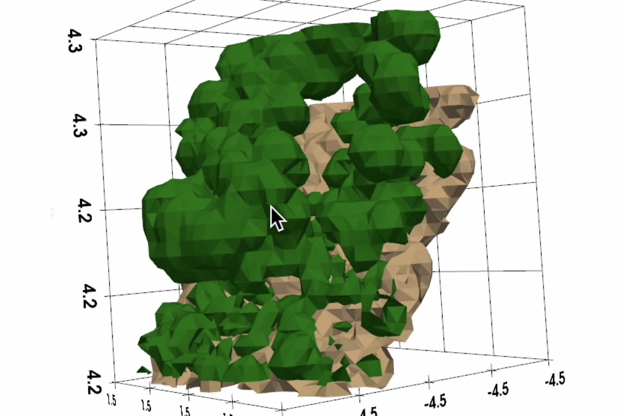
A project for Brown’s Visual Computing Research Group, this project visualizes a subset of Nasa GeoData over Rhode Island, displaying aggregated canopy height data. For implementation details, refer to the write-up below.
© Gavin Dhanda.